

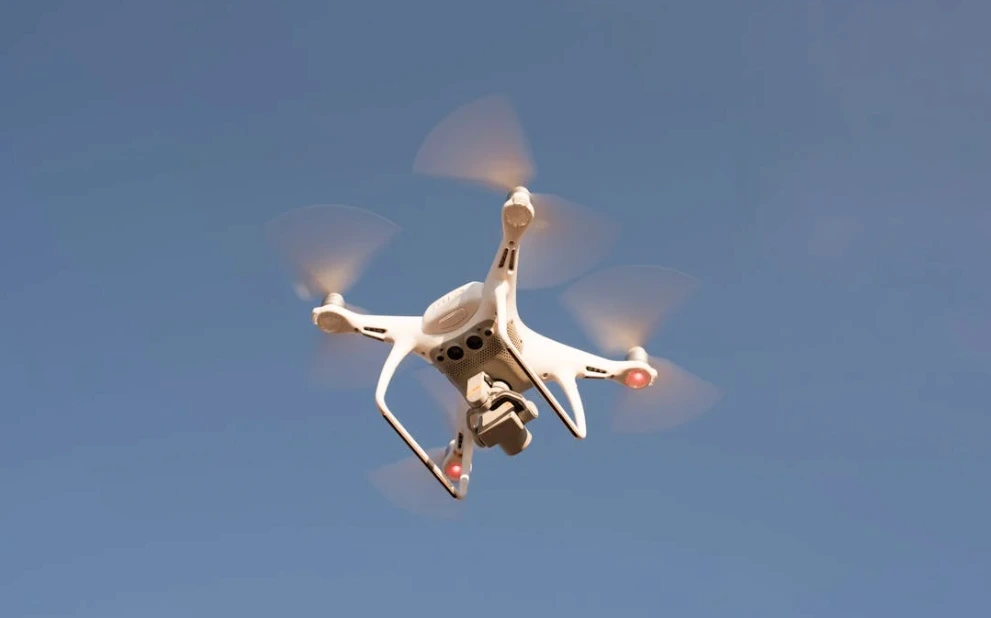
A drone weather forecast app is crucial for safe operation, compliance, and safety of both commercial and hobbyist drone usage. Thousands of companies now use unmanned aerial vehicles (UAVs) for deliveries, crowd control, surveillance, and agricultural operations.
Without hyperlocal weather data, drone pilots may lose thousands of dollars in equipment or face unreasonable delays that threaten their operations.
UAV forecasts like those from Visual Crossing allow you to review multiple parameters in one convenient tool, making them an invaluable resource for UAV pilots.
Why Weather Data Is Essential for Safe Drone Operations
Various factors, including wind speed, precipitation, temperature, and visibility, significantly impact drone operations.
Wind is one of the most crucial elements of drone safety. High gust speeds can damage UAV equipment and drain the battery as the craft expends more power to remain stable. Wind conditions also vary greatly with height. Gusts at 100 or 200 feet can be far stronger than those at the surface.
Without reliable vertical wind profiles, a drone could be pushed into restricted airspace or lose stability. Visual Crossing’s advanced data elements provide wind speed forecasts at multiple heights, giving operators the detail they need for safer flight planning.
Heavy rain can also impact the drone’s connection to GPS satellites and impact obstacle avoidance. As such, casual drone users and advanced pilots need detailed wind, temperature, precipitation, and solar information provided through hyperlocal hourly forecasts.
Key Forecast Elements for Effective Drone Flight Planning
Drone flight planning must consider current and future conditions to ensure smooth sailing. These are some of the most critical factors operators must include in their planning.
Wind Gusts: Each UAV has different wind thresholds it can withstand, with light craft needing calmer conditions. For example, a Skydio drone typically withstands wind resistance of 25 to 28 miles per hour, but other drones may have lower thresholds.
Rain Probability: Most UAVs should not be flown in rainstorms because water can damage their equipment. Pilots must verify that the forecast is clear and that suitable conditions will persist throughout the planned flight time.
Cloud Ceilings: Companies often use UAVs to inspect roofs, towers, and other high structures to identify issues and plan repairs. However, low cloud cover can obstruct visibility and even damage equipment. By checking cloud ceilings ahead of time, pilots ensure they don’t waste valuable time flying their craft through fog and mist.
Air Temperature: Cold weather can shorten drone flight times by draining batteries more quickly and may also cause ice to form on rotors and sensors, leading to malfunctions. Conversely, extreme heat can overwork electronics and damage sensitive components. Having access to accurate temperature forecasts allows pilots to anticipate risks and plan safe, efficient flights.
The Role of Weather Drones in Forecast-Driven Flight Planning
Weather drones are not only used for atmospheric research; they also feed critical data back into the very forecasts that everyday drone operators rely on.
For example, research UAVs like the CopterSonde-3D can fly directly into hurricanes and winter storms, gathering wind, temperature, and pressure readings that improve forecast accuracy. Those enhanced forecasts, in turn, help commercial drone pilots plan safer and more efficient flights.
This creates a feedback loop: specialized UAVs collect frontline atmospheric data, which refines weather models, and those improved forecasts then support other drones being used for agriculture, inspections, or logistics.
By tying real-time drone-gathered data into forecast systems, operators at every level—from scientists to construction crews—gain more reliable guidance before taking off.
Tools and APIs for Drone Weather Forecasting
Developers and operators utilize APIs to integrate forecasting directly into their apps and mission planning tools, ensuring they have the most up-to-date information. Some of the most popular ones include the following.
One of the most popular is UAV Forecast. A classic tool for operators, this free app has full tablet support, website usability, and hourly forecasts for up to 15 days. Users can create an index of their favorite locations or search for new places to explore in the future.
UAV Forecast also features fully configurable thresholds and automatic color-coded analysis, allowing users to view everything at a glance. Lastly, there are both light and dark themes with automatic switching at sunset and sunrise for hassle-free navigation. This is a subscription model with prices ranging from $0.99 to $99
Another popular option is AURA, which is exclusively available on iOS. This UAV forecasting tool offers a generous free model, with additional features available for a subscription. Designed exclusively for UAV use, AURA goes beyond simple wind speed and temperature observations to provide wind information, visibility, and geomagnetic storm activity at different altitudes.
Part of the reason AURA is so popular is that it features a simple, easy-to-use interface that indicates whether it’s safe to operate or not, eliminating the guesswork from planning.
Flight Delay and Route Adjustment Based on Weather Insights
Launching at the wrong time can lead to disaster for a UAV, such as a sudden loss of power in a storm or getting lost due to low visibility and a weak GPS signal. As such, it is essential to monitor current and future conditions closely for informed decision-making.
A drone weather forecast is crucial to ensuring the safety of everyone involved, as well as protecting expensive and sensitive equipment. Real-time data and alerts help operators determine whether they need to delay a launch, reroute their mission, or end it early.
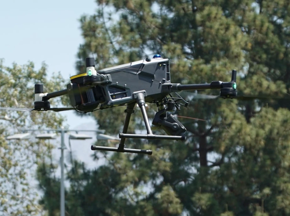
Use Cases: Drone Delivery, Surveying, and Emergency Services
UAVs are increasingly being used for disaster response, search and rescue, and inspecting remote infrastructure that may not be safe for humans. In doing so, UAVs protect property and ensure smart resource deployment. As technology improves and prices drop, they are also being used for deliveries to ensure customer satisfaction.
For example, a Florida fisherman used a drone to drop a flotation device into the water for a swimmer caught in a riptide, bringing the girl to safety. A Skydio drone with a thermal camera was used to locate a missing 70-year-old woman in a heavily wooded area, where human rescuers may have missed her.
Electric companies are also using UAVs to inspect critical infrastructure much faster and with fewer crew members. Texas A&M developed a drone system using artificial intelligence to develop disaster response maps in minutes, rather than the hours that it would take human researchers. In one trial, they were able to assess the structural integrity of 2,000 homes in only seven minutes, immediately determining where to employ emergency services. This has the potential to save thousands of lives during a natural disaster, all without risking responders.
Additionally, companies are now utilizing drones to deliver packages, particularly for time-sensitive products or those located in remote areas. Zipline is one of the world’s largest autonomous delivery systems, used by companies like Panera, Walmart, and GNC to satisfy consumer needs without the need for human couriers. Not only does this provide faster delivery, but it also reduces traffic and carbon emissions.
Whether dropping off a pizza, assessing critical infrastructure, or finding lost hikers, operators must ensure that their tools can withstand the predicted wind, temperature, and precipitation. Forecasting supports mission success and can save lives by ensuring minimal downtime when it matters most.
Compliance, Regulations, and Weather Forecasting
FAA and global regulations require weather awareness before flight, particularly in severe storms and after natural disasters. Failing to adhere to these regulations can lead to thousands of dollars in fines or license revocation.
In the U.S., commercial drone operators must pass the FAA Part 107 exam and obtain certification, which covers how microbursts, temperature, and wind patterns affect flight. Recreational users, on the other hand, only need to pass the TRUST test for consumer drones.
By using reliable forecasting, pilots can comply with no-fly orders and ensure proper risk management. This not only provides safety and prevents damage to delicate equipment but also helps avoid potential legal issues.
The Future of Drone Weather Forecasting
The future is bright for the UAV industry as more detailed forecasting becomes more widely available. Even with the uncertainty caused by climate change, forecasting models are becoming increasingly sophisticated with the use of Artificial Intelligence and Large Language Modeling.
AI-based forecasting models can calculate millions of variables much faster than old models, providing more precise and hyperlocal detail. With these tools, developers and pilots can quickly assess future conditions and receive tailored advice on appropriate mission conditions.
Satellite imagery is vital for understanding large-scale events, such as hurricanes and cyclones, which can lead to severe vehicle damage. Many APIs now include satellite imagery that highlights wind direction and speed, while the UAVs themselves can also connect with GPS satellites for precise location monitoring.
Another exciting development is the use of drone-to-drone communication via the internet or mesh networks. With this tool, craft can communicate with one another about dangerous conditions, which are then sent back to pilots.
Conclusion: Smarter Drone Operations with Better Weather Forecasting
UAVs have become an essential element of everyday life. Once used primarily by hobbyists, corporations, researchers, and scientists have now integrated them into their operations for everything from storm monitoring, package delivery, and search and rescue.
However, UAVs require specialized aviation forecasting tailored to their lower altitudes and smaller sizes. Drone weather forecast tools ensure productive and successful missions that achieve their objectives without endangering sensitive equipment or violating no-fly zones.
Proactive planning involves reviewing temperature, precipitation, wind patterns, and cloud cover to ensure safe operations. This can be achieved through APIs like Visual Crossing or through specialized applications like UAV Forecast, designed for pilots and developers. Through real-time monitoring and forecast-aware planning, UAV operators ensure that every mission achieves its results.