

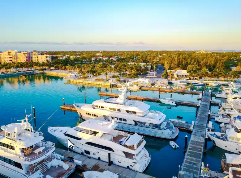
A marine weather forecast does not just let boating enthusiasts know whether to grab a jacket: it can save their lives. An accurate boating forecast will prevent accidents, improve logistics, and ensure safe navigation of challenging waters like those around Cape Elizabeth or Port Clyde.
It’s well-known by mariners that the waters today do not necessarily predict the waters tomorrow. Only highly accurate forecasting can ensure that vessel operators aren’t surprised by sudden choppy waters or dense fog.
For example, a cruise ship operator navigating the notorious Drake Passage in Chile needs to know whether low-pressure storm systems are on the horizon, as this may require them to return to shore and await better weather. They could also decide that while there may not be storms headed their way, the sea swells are too violent and could endanger the boat’s structural integrity.
On the other hand, recreational fishermen planning a multi-day trip around the shore of Lake Michigan will want to know whether the winds are moving east or north. This isn’t just about enjoying a light breeze – it determines where the fish are moving and how to find the perfect spot to set up their tackle.
A good marine forecast API will provide real-time details on unique marine weather factors, including wave height, swell periods, wind gusts, and barometric pressure. This article explains why specialized forecasting is crucial for both the recreational and commercial marine industries, and provides an overview of the elements that comprise a marine forecast.
Why Accurate Marine Weather Forecasts Matter for Safety and Navigation
Marine forecasting is invaluable for a broad range of users, whether that’s pleasure cruisers on the Merrimack River, MA, or freighters navigating coastal waters around Tarpon Springs, FL, as water conditions can change abruptly. What appeared to be a small chance of showers with light winds may erupt into a massive thunderstorm as a cold front rolls in.
While forecasting can be challenging on land, it is even more difficult on the seas. Wave height, variable wind speed, visibility, and precipitation all significantly impact boating navigation. Highly accurate data helps vessels avoid storms and plan safer routes when time is of the essence.
Most importantly, boating forecasting is crucial for both the ocean and inland water. Light chop in a quiet river could overturn a small boat, while widespread dense fog early in the day may interfere with shipping schedules around coastal shores. It’s essential to have hyperlocal, accurate data that includes visibility, wind, and wave details.
How Boaters Use Forecasts to Plan Marine Activities
Marine activities are as varied as the vessels that roam America’s waterways. While each discipline requires much of the same information, what is a minor inconvenience for one type of activity may necessitate the cancellation of another. As such, users need to know how to analyze boating weather forecasts and assess whether current water conditions are appropriate for their needs.
For example, assume a forecast like this:
“Tuesday, patchy fog late in the morning, then patchy dense fog in the afternoon. Morning winds around 5 to 10 kt. Isolated showers in the morning, slight chance of thunderstorms late in the evening. Tonight, northwest winds 5 to 10 kt. Winds turn southerly after midnight. Seas 1 foot or less. Wave detail: Northwest 1 ft at 5 seconds. Higher waters on Wednesday night of 2 ft.”
Winds around 5 kt to 10 kt are excellent for fishing, as the wind will push the surface water and attract fish. Leisure boaters, such as kayakers, will also appreciate the brisk breeze. They will know to head out early on Tuesday and leave in the afternoon to avoid being caught in a thunderstorm.
However, dense fog poses a significant issue for ferry operators and sailboats in busy waterways. Larger ships attempting to navigate shallow seas around coastal areas may also need to take additional safety precautions, even though the waters are relatively calm and the winds are low.
Things like wind are especially important for sailing races. A west wind of 5 kt, becoming SW, could completely change the course of the race. If a system of high pressure remains in the area for a long period, this leads to clear skies, but it also tends to mean the air is very still, which could cause challenges for wind-powered vessels.
As such, understanding boating forecasts helps users plan marine activities, avoid dangerous conditions, and maximize their enjoyment in bays, rivers, and lakes.
Choosing the Right Marine Weather Forecast Tools
While many generic weather forecasts provide basic marine conditions, they do not necessarily offer the highly accurate and detailed marine forecasting necessary to ensure safety.
For example, they may not provide an hour-by-hour assessment of wind changes, which sailing enthusiasts may need to plan their route. Wave height can determine whether small vessels can navigate safely or should reschedule.
Accurate forecasts are crucial, as is mobile accessibility, as boaters need to be able to check their phones while in their canoe or navigating their pontoon. Real-time updates enable those on long voyages to adjust their routes quickly as needed.
For transcontinental shipping routes, global coverage is a must. These companies should rely on a professional-grade API, particularly an enterprise system with a custom dashboard tailored to their specific needs. However, a quality API can also help hobbyists stay safe in challenging waterways.
One of the most popular marine weather forecasting tools in the United States is the National Weather Service, which utilizes thousands of sensors to provide reports on water conditions nationwide.
Key Forecast Variables for Marine Planning
Marine forecasts prioritize different data than general weather forecasts. Certain factors, like wave height and wind gusts, will determine whether it’s safe for certain classes of vessels to navigate and how to avoid dangerous conditions. These factors include the following.
Wave Height: Vessels of different lengths and sizes can tolerate different wave heights. For example, seas higher than 2 ft may be very dangerous for a small recreational craft but are not a problem for even a small cruise ship. Typically, small vessels should aim to stay in wave heights that are 1 foot or less.
Swell Period: The swell period determines the energy that is in each wave. A longer swell period means there is more energy in the wave, which could lead to a boat rolling over or losing power. Generally, a 3:1 ratio between swell period and wave height indicates a safe, smooth voyage.
Wind Gusts: Strong wind gusts can make navigation difficult or even knock a boat over, particularly in shallow seas around coastlines. The larger a vessel, the more likely it is to withstand gusts of 20 knots or more. Smaller boats should not enter the water if there are gusts above 15-20 knots.
Barometric Pressure: Dropping barometric pressure indicates that strong thunderstorms are approaching, while a high-pressure system indicates clear skies and smooth sailing. Keeping an eye on the barometric pressure, in addition to wind gusts, will help boaters and marine vessels steer around oncoming storms and prevent capsizing.
Sea Surface Temperature: The sea surface temperature is important for both navigation and recreation. For fishers, certain species thrive in a particular temperature, meaning that fishers can predict what type of marine life they can catch based on how warm the water is. Sea surface temperature also determines how the water interacts with the atmosphere. Storm systems, like tropical cyclones, draw energy from the water, so high temperatures can mean more severe weather.
Tides: Understanding the tides is essential to planning trips. At low tide, dangerous underwater structures, such as reef systems, may become exposed, and larger vessels may not have sufficient clearance. High tide is generally safer and can prevent damage to the hull. Additionally, the tide affects currents, which can help a vessel move smoothly or require more fuel usage to fight against the current.
Whether you are planning a simple fishing trip this upcoming weekend or preparing for an international regatta, a detailed marine forecast is crucial to keeping you safe and ensuring an enjoyable experience. Consider using a specialized marine weather API to ensure accuracy, real-time updates, and detailed g
Visual Crossing offers an array of marine forecasting tools, sourced from National Weather Service buoy sensors, radar, and personal weather stations. We combine thousands of data points to provide the high-quality forecasting you need to confidently navigate your local waterways. With a weather API, professional and recreational navigators can ensure they safely return to dry land.