Weather Data
Visual Crossing Weather enables users to integrate weather into their every day data processing to help identify trends based on weather and prepare for the effects of the coming weather.

How can I find the Average Temperature?
Determining the average temperature for an area from raw data can be challenging and time consuming. First you need a…Sean McCafferty / December 18, 2020
How to find accurate snow weather data
In this article you will learn how to request the best snowfall data. We will use the snowfall data available…Visual Crossing / December 4, 2020

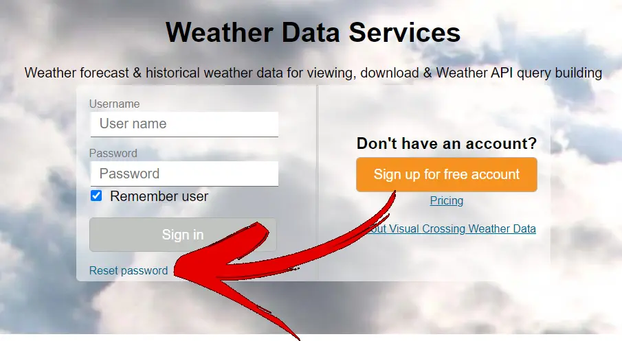
Help! I can’t log in to Visual Crossing Weather!
In most cases you can solve your own log in problem in a matter of seconds without the need for…Visual Crossing / October 16, 2020
Visual Crossing Weather Packaged Options
Do you need weather data for a specific use case? Don't want the hassle of setting up an account or…Visual Crossing / October 8, 2020

Understanding and optimizing the Visual Crossing Weather Pay-as-you-go plan
The Visual Crossing Weather Pay-as-you-go plan (also known as the Metered plan) is one of the easiest-to-use and the most…Visual Crossing / September 17, 2020
How are weather metrics calculated over various time periods in different weather queries?
While it may seem like an easily-answered question, sometimes it is not completely obvious what exact time periods are covered…Visual Crossing / August 19, 2020
Bulk Weather Data in Visual Crossing
Weather Data users typically have a varied systems, datasets and techniques they can work with to download the weather data…Sean McCafferty / August 13, 2020
How to I properly cite or attribute the weather data in my project to Visual Crossing Weather?
First things first, thank you for choosing Visual Crossing Weather as the weather data provider for your project. We're glad…Visual Crossing / May 9, 2020
How do I add weather data into Microsoft Word?
In this article we will describe various techniques to include both historical weather data and weather forecast data into a…Andrew Wigmore / March 24, 2020

How do I add weather data into Microsoft PowerPoint?
We are going to walk you through building a PowerPoint that has a graph of your current forecast. We will…Sean McCafferty / March 24, 2020
Setting the Location Source for the Visual Crossing Weather Add-in
There are two types of Location sources that can be provided to the Weather Excel Add-in: Latitude/Longitude and Address. This…Visual Crossing / March 24, 2020
Available Data for Visual Crossing Weather – Updated December 2020
Overview The Visual Crossing Weather platform is able to join and analyze both historical weather and weather forecast data from…Visual Crossing / March 24, 2020