Millions of individuals are preparing themselves for the potential consequences of Hurricane Lee, a formidable Category 3 hurricane that has started its critical turn in the Atlantic Ocean. This shift in trajectory will ultimately push the storm towards the western region of Bermuda before setting it on a collision course with either coastal New England or Atlantic Canada by the week’s end.

The massive storm, a Category 3 hurricane as of Wednesday morning, continued to churn northwest in the open Atlantic and was about 430 miles south-southwest of Bermuda with maximum sustained winds of 115 mph.
Tropical Storm Warnings have already been issued for Bermuda, a British island territory in the North Atlantic Ocean. As a result, residents of Bermuda are currently engaged in making necessary preparations ahead of the expected arrival of tropical storm conditions, which are forecasted to commence in the early hours of Thursday morning.

According to the U.S. Coast Guard, they are actively monitoring the progress of Lee and are advising individuals in the New England area to make necessary preparations for potential impacts.
Lee’s winds are expected to reach certain parts of New England as early as Friday evening.
According to research, Hurricane Lee is expected to weaken in intensity. However, the storm’s impacts are still anticipated to be significant due to its large size, which has notably increased since the weekend. According to the National Hurricane Centre, hurricane-force winds can extend outward from the center of a hurricane for up to 115 miles. Additionally, tropical storm-force winds can extend up to 240 miles.

And that’s why a weaker storm may still pose significant hazards. A larger storm can potentially impact a more widespread area, increasing the likelihood of Lee affecting New England. The already waterlogged region is highly vulnerable to the impacts of strong winds and more rainfall, which can lead to significant damage.
According to recent weather forecasts, New England may experience wind gusts ranging from 40 to 60 mph by the end of the week. It is important to note that these gusts are expected even though the core of Hurricane Lee is projected to be several hundred miles away from the region.
On Friday night, tropical storm-force wind gusts may affect certain areas of Connecticut and eastern Massachusetts. High winds, heavy rainfall, and storm surge can affect various regions of New England and eastern Canada over the upcoming weekend.
When and how much wind and rain from Lee will affect the northeastern U.S. and eastern Canada will depend on where the hurricane goes later this week and over the weekend.
Recent data and analysis suggest an increasing possibility of a hurricane track moving closer to the coast of the United States. Lee is forecasted to run into a weather system located in the mid-Atlantic region. This system is expected to impact Lee, causing the cyclone to shift slightly towards the west as it remains off the coast of New England. If Hurricane Lee continues on its westward track, it is expected to bring gusty winds and heavy rainfall to a larger area of New England. This impact is likely to occur primarily from Friday night through Saturday.

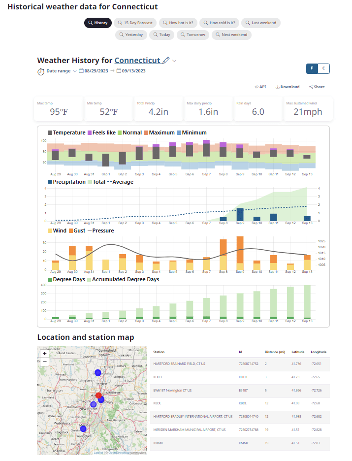
The soil in many areas of New England is currently saturated with moisture. According to weather service data, recent rainfall in certain areas of Massachusetts and New Hampshire has exceeded normal values by more than 300% over the past two weeks. Destructive flooding occurred in Massachusetts earlier this week, causing significant damage and disruption.
There is a higher chance of increased rainfall in the upcoming week preceding the arrival of the Lee storm. These higher rainfall levels are expected to create conditions conducive to flash flooding. Consequently, even relatively moderate amounts of rain brought by the storm Lee could pose a significant risk and be considered dangerous.
The combination of tropical storm-force wind gusts and saturated soil can increase the likelihood of trees being uprooted or damaged. This is particularly concerning in New England, where trees are still in full leaf. This increases the probability of experiencing a greater frequency of power outages throughout the region.
There are reports of hazardous surf conditions impacting the southeastern coast of the United States, specifically from Florida to the Carolinas. Rip currents are currently posing a risk along the entire East Coast of the United States, stretching from the state of Florida all the way up to coastal Massachusetts.
.
