

Parts of the northeastern United States and the western and north-central regions should expect to see bad weather from a massive winter storm system until at least February 23. From the western coast into the inner west, over the northern Plains, Upper Midwest, and Great Lakes, and into northern New England, the storm will deliver heavy snow and severe winds to the impacted region. After the storm has passed, temperatures will decrease dramatically. In the mountains, significant snowfall accumulations are expected, while the lower altitudes may get a mixture of snow, sleet, and rain.

This week, a large winter storm is expected to form across the northern United States, bringing a wide range of precipitation types that will be “very disruptive,” as described by meteorologists.
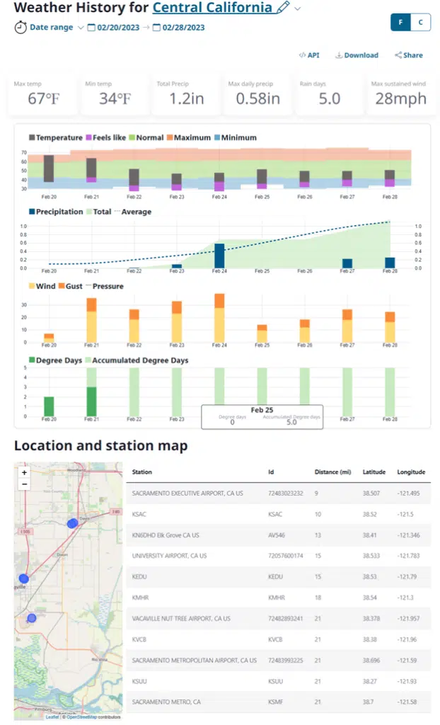
Early Tuesday morning, the storm had begun to form in the western hemisphere. There was a practically uninterrupted band of more than 30 million people from the coast of California to Maine who were all under winter weather warnings.
In the Western United States, snow began falling as low as 1,000 feet, and in some places in Northern and Central California, it even reached as low as 500 feet in elevation. More than 13 million people in the Northern Rockies and Northern Plains were issued a winter storm warning, and one to two feet of snow was predicted to fall in the mountains.
A National Weather Service alert has indicated that heavy snow and high winds, which develop over the Northern Rockies on Tuesday, will shift towards the south and east. As the day progresses, the weather system will move into the Plains, resulting in heavy snow, high winds, and freezing rain. Power outages are likely to occur, according to weather forecasters.
On Wednesday, the wintry mix will hit the Upper Midwest, Great Lakes, and certain parts of the Northeast. Weather conditions are expected to worsen during this time, with wind gusts exceeding 30 miles per hour and causing blizzard conditions over portions of the Midwest, as per the forecasters.
Areas from South Dakota to southern Minnesota and parts of northern Wisconsin and Michigan are expected to receive more than eight inches of snow.
The Weather Service office in Billings, Montana, has forecasted plenty of snow and temperatures of around 3 degrees Fahrenheit for Wednesday. The forecasters have suggested that staying at home might be best and not engaging in any travel or outdoor activities.
Salt Lake City is also expected to experience similar windy conditions on Tuesday, and the Weather Service office has advised residents to either stay home or modify their commute schedule. They also recommend venturing out only if necessary and taking precautions to ensure safety.
The Weather Service office in Sioux Falls, South Dakota, expressed surprise that the winter storm severity index had reached the “extreme” category. The state’s department of public safety urged residents to take precautions in anticipation of the worsening weather.
Officials stated that time was running out to prepare for the expected storm. They recommended keeping travel plans flexible and having enough supplies, including prescription medications, at home.

Although the storm was projected to impact the Rockies and Midwest severely, it was also expected to bring snow to a portion of the Northeast later in the week. A winter storm watch was implemented for certain areas of Maine, New Hampshire, New York, and Vermont.
The Weather Service predicted that higher elevations, such as the Adirondacks and the Green and White Mountains, would likely receive heavier snow totals of up to a foot. On the other hand, lighter accumulations of up to four inches were forecasted for the lower elevations across upstate New York and central New England.
The East Coast regions have been relatively unaffected by the weather this winter, and this trend is expected to continue during this upcoming storm. New York City and other major cities along the Interstate 95 corridor have been experiencing some of their least snowy seasons in the past 50 years.
In Canada, the Meteorological Service of Canada has stated that the storm conditions will bring a wintry mix of snow and ice pellets to southern Ontario on Wednesday night and into Thursday. The agency also warned of hazardous winter travel conditions as precipitation could sometimes fall heavily.